Over
land
The rock you are about to put a sill on went under the hood four feet ago. Roadmarker keeps drawing it after you can no longer see it.
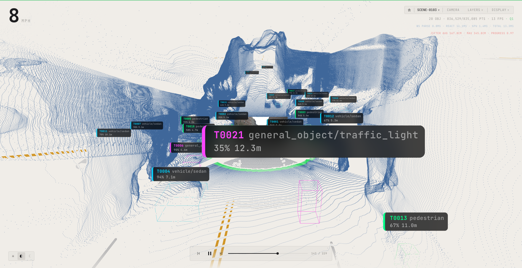
On a technical line the ground that matters is the ground you cannot see. It goes under the hood at the moment it starts to matter, and the usual answer is a spotter. Roadmarker keeps the terrain in the model after it leaves view, so the shelf under the front wheel is still drawn when your bumper is over it.
Compute unit
On the vehicle, on vehicle power. No signal needed.
Six cameras
Known optics, including the low forward views that see what the hood is about to hide.
Display
An iPad on a mount, or a fixed screen.
Argued, not demonstrated. The capture above is the system running on recorded street data. Street is what the dataset contains, so the terrain case rests on the same surface reconstruction rather than on rock. Dust, glare and mud on a lens are ahead.
Tell me when it is real
An email address. No payment, no reservation, no date. Saying what you run and where counts for more than the address.
Stored to email you once. Not sold, not shared.